The total area of the State of Kuwait is 17,818 square kilometers (6,969 square miles).
Most of Kuwait mainland is a flat desert, gradually sloping down from the extreme west of Shigaya and Salmi (300 meters high) towards sea level in the east. It is broken by shallow depressions and low hills, such as Al-Liyah, Kura Al-Maru, Shagat Al-Jleeb, and Afrie, which form a ridge at Jal al-Zor (145 meters high), cut by the Umm Al-Ramam wadi.
The area is locally known by the name "Ghodai" meaning the "Hill". The southern part of Kuwait is generally flat, with the exception of Ahmadi Hill (137 meters high).
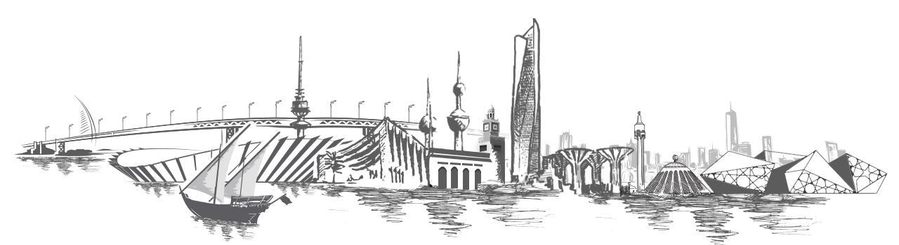
Area & Topography
The Kuwait mainland, having no mountains or rivers or other natural features, was for a long time a transit area for nomadic tribes and caravans.
Such freedom of movement made delineation of borders rather difficult and resulted in some border problems. The whole matter was amicably resolved following the creation of the Neutral Zone between the State of Kuwait and the Kingdom of Saudi Arabia (7 July 1965).
The northern part of the partitioned zone is administered by Kuwait, whilst the southern part is the administrative responsibility of Saudi Arabia.
The crude oil extracted from the partitioned zone is equally shared by both countries.